WKN Weer, Klimaat en Natuurrampen
Lees alles over het onstuimige weer op onze planeet, volg orkanen en tornado's, zie hoe vulkanen uitbarsten en hoe Moeder Aarde beeft bij een aardbeving. Alles over de verwoestende kracht van onze planeet en tal van andere natuurverschijnselen.


Het water in de golf is ook lekker warm dus genoeg potentie om uit te groeien tot een cat 1/2/3/4 of 5 
bronquote:Tropical Atlantic Quiet Now, But Not for Long
The tropical Atlantic remains quiet in the wake of Tropical Storm Bonnie from late last week. However, odds favor this quiet period will not last long.
The period during the second half of July is typically a quiet period.
As a large ridge builds at most levels of the atmosphere over the northern Atlantic and extends along the eastern U.S. seaboard, the tropical activity in the Atlantic notoriously ramps up at a marked pace during August.
While normal high temperatures are at their peak and actually begin to decline in August in the Northern Hemisphere, the oceans continue to absorb heat through much of the month.
While it is rare to have a tropical storm or hurricane churning waters in the nearby Atlantic or Gulf over the Independence Day holiday, it is rare not to have a tropical cyclone threatening nearby waters or U.S. coastline during the Labor Day weekend.
Things will soon change for the worse in the tropical Atlantic and we are likely to have multiple named systems in existence at the same time on one or more occasions this season according to AccuWeather.com Hurricane Expert Joe Bastardi.
Thus far we have only had two named tropical systems in the Atlantic. However, this is just the calm before the storm.
Met alle respect, maar dit had toch al veel eerder moeten gebeuren? Orkaanseizoen is allang begonnen en augustus en september zijn weliswaar de drukste maanden qua orkanen daar, maar ze hadden in juli ook Alex op hun dak kunnen krijgen.quote:Haïti bereidt zich voor op orkanen
Op Haïti worden voorbereidingen getroffen voor het orkaanseizoen om zo een nieuwe ramp te voorkomen.
Sinds de verwoestende aardbeving begin dit jaar, wonen vele Haïtianen in tentenkampen. Het Rode kruis vreest dat er veel slachtoffers vallen, mocht een orkaan over het eiland trekken. De hulporganisatie is bang dat de kampen de windstoten en regenval niet aankunnen en neemt voorzorgsmaatregelen zoals het aanleggen van schuilplaatsen.
Het meteorologisch instituut in de VS voorspelt 9 stormen die tot een orkaan kunnen uitgroeien. Het Rode Kruis schat de kans 50% dat een orkaan Haïti treft.
quote:LOOKS LIKE ANOTHER WEEK OF QUIET AND THEN IT IS TIME
Changes are coming. After a nice and quiet period, relatively speaking, since Alex, it appears that August will become quite busy. The evidence to suggest this is seen in the various global computer models which all develop African tropical waves beginning next week. The upper levels are relaxing with less and less shear, water temps are plenty warm and the large outbreaks of Saharan dust are diminishing. All of this is to be expected this time of year and comes as no surprise. There is no reason to speculate on where any future development might impact, it's just too far out in time to worry about things like that. The bottom line is that we are about to begin the most active part of the hurricane season


De boel komt op gang.quote:Op donderdag 29 juli 2010 23:15 schreef Co_OL het volgende:
Er is verandering aan het komen denk
[ afbeelding ]
quote:TROPICS BECOMING MORE ACTIVE AS NHC OUTLINES TWO AREAS OF INTEREST
As I mentioned yesterday, changes appear in the works as the tropics transition from being hostile for development towards more conducive. The NHC now has two areas outlined for potential tropical storm formation though both are currently low in terms of probability. The long range computer models continue to demonstrate a fairly solid consensus that we may see two storms form within the next week to 10 days. As we get in to August, just going on climatology alone, one wouuld expect an uptick in hurricane activity.
90% kans
Denk dat Colin vandaag of uiterlijke morgen wordt opgewaardeerd tot tropische depressie/storm
Denk dat Colin vandaag of uiterlijke morgen wordt opgewaardeerd tot tropische depressie/storm
quote:TROPICAL DEPRESSION COLIN LIKELY FORMING IN CENTRAL ATLANTIC
We are watching a large tropical wave and associated surface low pressure area in the open waters of the central Atlantic. The NHC gives it a 90% chance of becoming a tropical depression or storm at any time now. Overall, the conditions are seemingly favorable for development as the system moves steadily westward. However, it is curious to note that the major computer models all but lose the system over the coming days due to very unfavorable upper level winds ahead. What I am seeing is that a strong area of cyclonic flow in the upper levels of the atmosphere will be present as the low moves west. This is the opposite of what would need to be in place to allow significant strengthening. In fact, the SHIPS intensity model, which was calling for this to become a hurricane, now keeps it as a moderate tropical storm. The GFS and ECMWF models also depict the system as remaining quite weak. So while there is a lot of talk about this feature, I do not see it having much potential at this point in time. We know that things can change but as was the case with TS Bonnie recently, there is a reason the global models do not indicate much development and that reason would seem to be because it won't. It may still become a depression or even a named storm, but anything more than that would be a surprise to me as of now. There is something just not right yet in the atmosphere in the Atlantic Basin that is keeping the lid on prolific development. All of this is great news for anyone living along the coast. Will it continue for the remainder of the season?

Staat toch duidelijk Colinquote:Op dinsdag 3 augustus 2010 09:29 schreef Frutsel het volgende:
Lijkt wel of die tropische storm "Aloa" heet
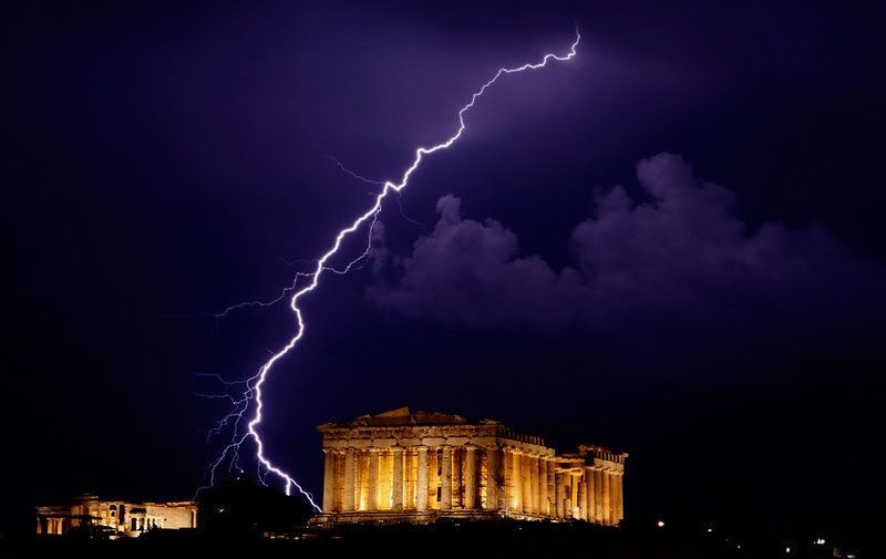
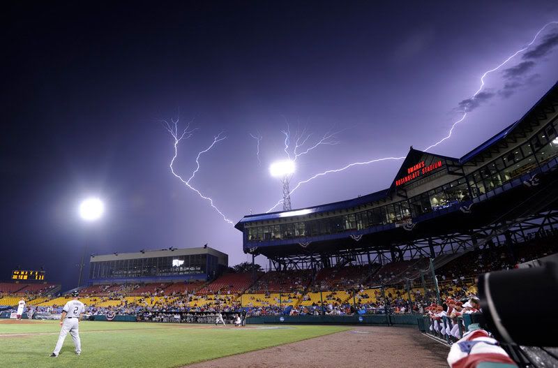
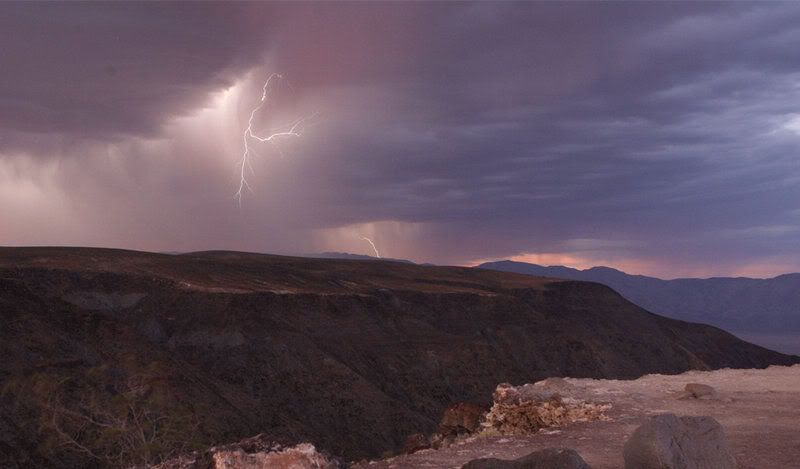
Deze foto's wou ik toch met jullie delen 


Op zaterdag 28 juni 2014 @ 18:18 schreef Marie30 het volgende: Zo lief. :) Kusje :*
Op donderdag 14 juli 2016 @ 23:45 schreef GGMM het volgende: Het is altijd bijzonder gezellig als banaantje er is. :)
Op donderdag 14 juli 2016 @ 23:45 schreef GGMM het volgende: Het is altijd bijzonder gezellig als banaantje er is. :)
Net stond er Alo4 ofzoquote:
Mooie foto's maar niet echt passend bij dit topicquote:Op dinsdag 3 augustus 2010 11:01 schreef banaantjeEE het volgende:
Deze foto's wou ik toch met jullie delen
[ afbeelding ]
[ afbeelding ]
[ afbeelding ]
[ afbeelding ]
[ afbeelding ]
[ afbeelding ]
[ afbeelding ]
[ afbeelding ]
[ afbeelding ]
[ afbeelding ]
[ afbeelding ]
Colin kon land wel eens missen...
een Cat.1 orkaan aan de amerikaanse noord-oostkust echter kan een Katrina effect aka New Orleans veroorzaken
een Cat.1 orkaan aan de amerikaanse noord-oostkust echter kan een Katrina effect aka New Orleans veroorzaken
Lijkt er wel op idd.quote:
Tegen het weekend lijkt er weer een nieuwe storm te ontstaan op zo'n beetje dezelfde plaats.
Hallo,
Mijn naam is Peter zoals je al kan afleiden uit mijn gebruikersnaam.
Ben nog een "groentje" op zowel het gebied van tropische stormen als hier op het forum.
Mijn eerste vraagje naar jullie klinkt misschien wel belachelijk voor de meeste onder jullie "kenners" maar wat is de betekenis van AL04? Die 04 weet ik wel maar die AL ....?
Als er iemand is die zich geroepen voelt om een groentje als ik wat bij te leren over tropische stormen, en waar ik met vraagjes terecht kan, laat maar iets weten. Ik zal je duizend maal dankbaar zijn.
Grtz
Peter
[ Bericht 0% gewijzigd door PeterDM op 03-08-2010 20:24:37 ]
Mijn naam is Peter zoals je al kan afleiden uit mijn gebruikersnaam.
Ben nog een "groentje" op zowel het gebied van tropische stormen als hier op het forum.
Mijn eerste vraagje naar jullie klinkt misschien wel belachelijk
Als er iemand is die zich geroepen voelt om een groentje als ik wat bij te leren over tropische stormen, en waar ik met vraagjes terecht kan, laat maar iets weten. Ik zal je duizend maal dankbaar zijn.
Grtz
Peter
[ Bericht 0% gewijzigd door PeterDM op 03-08-2010 20:24:37 ]