WKN Weer, Klimaat en Natuurrampen
Lees alles over het onstuimige weer op onze planeet, volg orkanen en tornado's, zie hoe vulkanen uitbarsten en hoe Moeder Aarde beeft bij een aardbeving. Alles over de verwoestende kracht van onze planeet en tal van andere natuurverschijnselen.


Ah, vandaarquote:
Op maandag 24 augustus 2015 11:34 schreef Yasmin23 het volgende:
Als je maar genoeg moeite doet past alles.
_____
TV / Het post-apocalyptische/dystopische film topic
Als je maar genoeg moeite doet past alles.
_____
TV / Het post-apocalyptische/dystopische film topic

Ik zou toch binnen gebleven zijn.
You better lose yourself in the music
The moment, you own it, you better never let it go
The moment, you own it, you better never let it go
Wat een scenario...overstromingen in de winter. Het is daar straks één grote glijbaan. Temperatuur zit nu ongeveer op 2 graden onder nul. Zal nog wel iets oplopen, maar later weer dik onder nul.
Gebeurt nu alquote:Op dinsdag 27 januari 2015 16:53 schreef aloa het volgende:
Wat een scenario...overstromingen in de winter. Het is daar straks één grote glijbaan. Temperatuur zit nu ongeveer op 2 graden onder nul. Zal nog wel iets oplopen, maar later weer dik onder nul.
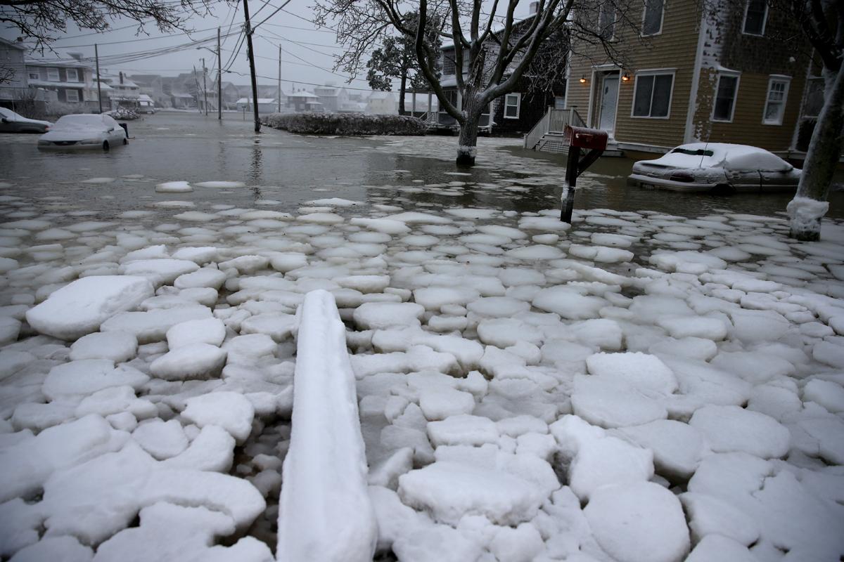
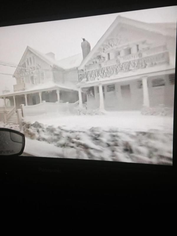
SPOILER: IjshuizenOm spoilers te kunnen lezen moet je zijn ingelogd. Je moet je daarvoor eerst gratis Registreren. Ook kun je spoilers niet lezen als je een ban hebt.
[ Bericht 6% gewijzigd door Houtenbeen op 27-01-2015 17:49:51 ]
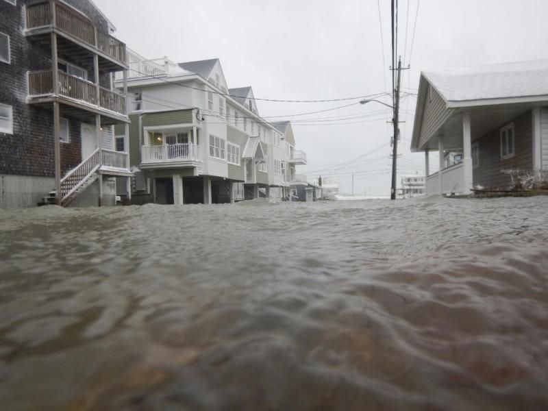
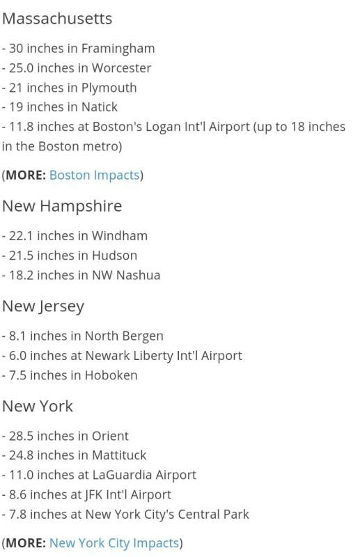
SPOILER: Marshfield:Om spoilers te kunnen lezen moet je zijn ingelogd. Je moet je daarvoor eerst gratis Registreren. Ook kun je spoilers niet lezen als je een ban hebt.
[ Bericht 8% gewijzigd door Houtenbeen op 27-01-2015 17:42:56 ]

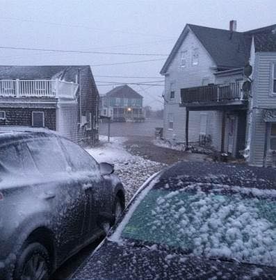


Ik heb uiteindelijk enorm veel mazzel gehad met een vlucht naar New York JFK op dinsdag. Het vliegveld was praktisch verlaten, en de informatieborden lieten bijna alleen maar "cancelled" zien. De situatie valt hier overigens enorm mee, slechts 15-20cm sneeuw.

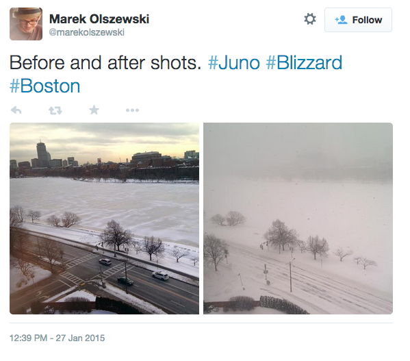
quote:Blizzard 2015: biggest snows hit Massachusetts
The snows from the Blizzard of 2015 have finally ended over most of New England, leaving some truly historic snowfall totals. The biggest snows hit Central Massachusetts, with three feet measured at Auburn, Hudson, and Lunenburg. More than two feet of snow fell across five other states, with 33.2" at Nashua, NH; 30" at Orient, NY; 28.5" at Burrillville, RI; 31.5" at Sanford, ME; and 34.1" at Winthrop, CT. Some superlatives for stations with a long period of snow records:
Worcester, Massachusetts: All-time record snowfall (34.5")
Boston, Massachusetts: 6th heaviest snowstorm (24.4")
Providence, Rhode Island: 4th heaviest (19.1")
Portland, Maine: 4th heaviest (19.1")
Blue Hill Observatory, SE Massachusetts: 2nd heaviest (30.8")
The top six snowstorms on record in Boston, Massachusetts since 1890:
1. 27.6" Feb 17-18, 2003
2. 27.1" Feb 6-7, 1978
3. 25.8" Feb 24-26, 1969
4. 25.4" Mar 31-Apr 1, 1997
5. 24.9" Feb 8-9, 2013
6. 24.6" Jan 26-28, 2015
The top seven snowstorms on record in Providence, Rhode Island, since 1905:
1. 28.6" Feb 6-7, 1978
2. 23.4" Jan 22-23, 2005
3. 22.8" Jan 7-8, 1996
4. 19.1" Jan 26-28, 2015
5. 18.9" Feb 14-16, 1962
6. 18.3" Feb 3-4, 1961
7. 18.0" Feb 8-9, 2013
The top 4 snowstorms on record in Portland, ME:
1) 31.9" Feb. 8-9, 2013
2) 27.1" Jan. 17-18, 1979
3) 25.3" Feb. 17-18, 1952
4) 23.8" Jan 26-28, 2015
The Blue Hill Observatory in Southeast Massachusetts, with snowfall records going back to 1885, recorded 30.8"--its second greatest snowstorm on record. Their top 5 snowstorms on record:
1. 38.7" Feb 24-28, 1969
2. 30.8" Jan 26-28, 2015
3. 30.3" Mar 3-5, 1960
4. 30.1" Feb 6-7, 1978
5. 30.0" Mar 31 - Apr 1, 1997
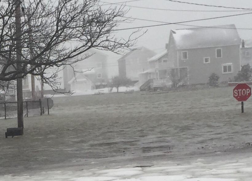
The storm's powerful winds, gusting as high as 78 mph at Nantucket Island, brought a significant storm surge to the coast. As storm surge that peaked at 4.51' at 15:18 UTC January 27 hit Nantucket Island, flooding downtown Nantucket to a depth of 3.5'. The storm surge at Boston Harbor peaked at 4.78' at 16:12 UTC January 27, and caused damage to buildings and roads all along the Southeast Massachusetts coast.
There will be no rest for snow-weary New Englanders in the near future. A clipper-type system will drop light to occasionally moderate snow across the Northeast on Friday - Saturday, followed by an intense shot of bitter cold. The extended-range models suggest a much stronger system early next week, a potential nor'easter that could deliver heavy precipitation from the mid-Atlantic to Maine. There are still major uncertainties about timing, location, and precipitation type, as this storm will carry a good bit of warm, moist air--and our experience with this week's storm (see discussion below) should give us pause before jumping too quickly on any particular model solution.


 Op
Op 

|
|
| Forum Opties | |
|---|---|
| Forumhop: | |
| Hop naar: | |